The Prehistoric Period
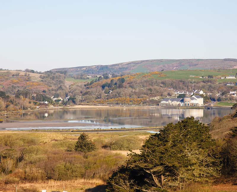
At the end of the last glaciation, 11,700 years ago, the sea level began to rise and the tide flooded into the rocky depression that now underlies the estuary. (It’s a sobering thought to realise that we currently live in an interglacial ‘warm’ period and that there have been many glaciations in the past!) To begin with, the uneven landscape was covered with an untidy assemblage of boulders, cobbles and silt that had recently been deposited by a thick layer of ice. Meltwater had also washed in accumulations of sand and gravel here and there. As the sea level rose, the coastline, which at that time reached much further offshore, was gradually flooded. In tandem with this – but over thousands of years – the prevailing wind and tide swept sand, which had already been pushed southward by glacial melt-water, back into the inlet, gradually choking it. This was the landscape that was encountered by the first people that arrived in West Cork.
Several stone monuments survive on ridges around Rosscarbery but are not generally visible in the low-lying areas of the coast. This is because this part of the early archaeological record has been submerged by the tide – studies of buried sediments have shown, not only, that the sea level rose all along the south coast of Ireland after the last glaciation, but also, that levels continued to increase for thousands of years, smothering low-lying sites that contained records of earlier human and animal activity.
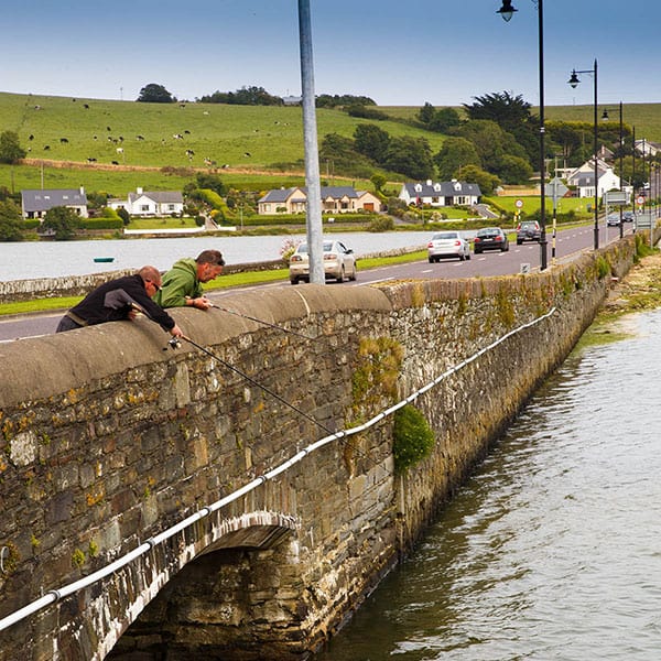
This environmental change may be illustrated by a piece of local history. According to Charles Coughlan, a letter from Lady Carbery to his grandfather, Patrick Sheehan (d 1960), described how the remains of an ‘Irish elk’ were discovered at Rosscarbery. It seems that some labourers uncovered the bones, while excavating peat from the foundations of the Post Office causeway, which, incidentally, was built between about 1809 and 1814. Although the letter is unfortunately lost, the story is important because it indicates that the organic peat, buried under the blown-sand of the estuary, contains a record of the living landscape that spans thousands of years. The giant Irish deer (Megaloceros giganteus), as ‘the elk’ is more properly called, died out early in the postglacial period, about eleven thousand years ago. Interestingly, in the mid-nineteenth century, George Du Noyer of the Geological Survey of Ireland observed that people dug ‘peat-bog’ for fuel from under the slob (Jukes and Kinahan 1861).
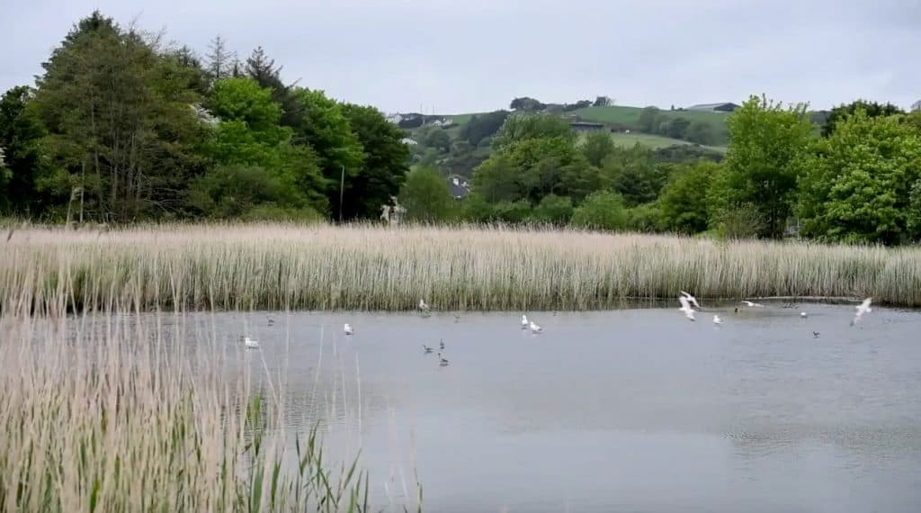
And there is more evidence for Rosscarbery’s prehistoric environment. A detailed study of peat cores, taken from the foreshore at nearby Tralong (Waitz 2014), has identified a change from low-lying woodland to a reed swamp environment in the time interval stretching from the Neolithic to Bronze Age. Surprisingly, the peat layer there is reported to be 4m thick! Winter storms and low spring tides occasionally reveal woody peat at Warren Strand, and the remains of trees and associated peat have been observed at Red Strand, east of Ross (Tim Feen, personal communication). Thus, when we walk on the strand, there is evidence for the ancient landscapes of the coast hidden under our feet!
But what about the visible record? To date, there is no local evidence for the first ‘hunter-gatherers’ that arrived in the Mesolithic period. It is known, however, that these people travelled along the coast and rivers of Ireland in their primitive boats about nine thousand years ago. Scientists now think that it is likely that the first immigrants came by sea rather than by land-bridge, bringing with them, many of the species of the animals and plants that we see today.
The oldest surviving monument in the district is a good example of a portal tomb. It is located 2.5 km to the east of Rosscarbery, in Ahaglaslin townland, and is of probable early Neolithic date. This important structure overlooks the small valley of the Owenahincha River, and is close to the sea. Historic Ordnance Survey maps indicate that the site was known as Calaheencladdig, which I would interpret as Caillichín ‘Cladaigh, meaning perhaps, ‘the little witch of the sea-shore’. The tomb itself appears to be formed from stone slabs that were taken from the rocky ridge on which it stands, and is thought by archaeologists to represent the first evidence of farmers in the area, some six thousand years ago (4,000 to 3,600 BC). Further evidence of Neolithic settlers in the Rosscarbery district is scarce and confined to rare finds such as a polished stone axe-head discovered at Galley Head.
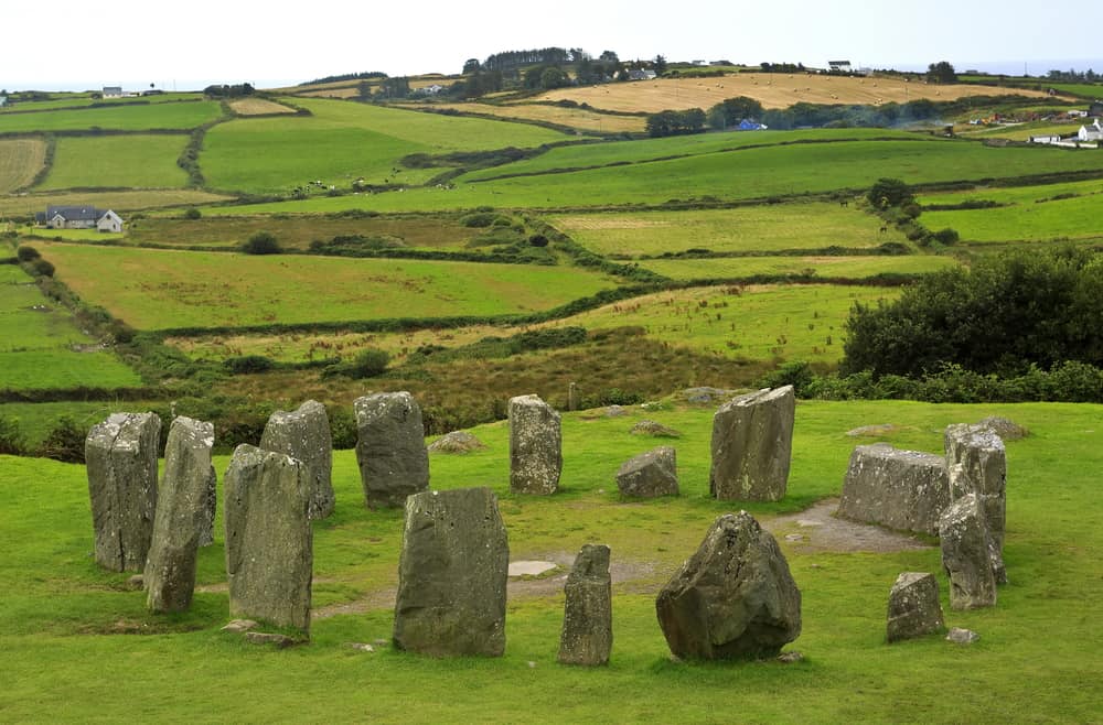
Several, well-preserved wedge tombs from the early Bronze Age have been found on the Mizen Peninsula, further to the west, but do not exist in the local district. However, many monuments from the later part of the Bronze Age have survived locally, and when taken together, demonstrate a distinctive ritual tradition (see O’Brien 2012). Most famous is the stone circle at Drombeg. It appears to be orientated according to the sun, and stands adjacent to a water-boiling trough, which archaeologists believe was a cooking place for meat. Two nearby structures are interpreted as stone huts. Further stone circles of importance survive at Bohonagh and Reenascreena South. The single standing stones, which are also associated with this period, are common throughout West Cork. One example, located in Burgatia townland, just east of Rosscarbery, is marked with prehistoric rock art in the form of ‘cup’ marks. This standing stone, or gallán, as it is known in Irish, is accessible from the main N71 road, close to where it sweeps down to the main causeway. Distinctive ‘cup-and-ring’ symbols are well known in West Cork and may be part of a cult of the sun, which, again, is thought to date to the Bronze Age (O’Brien 2012). Rock art is also found on boulder-burials and on rock outcrops. Towards the end of the prehistoric period, the archaeological evidence for former communities is more abundant, and Rosscarbery district includes well-preserved ring-forts, cashels, and other features that were occupied during the Iron Age and subsequent medieval period…